01299 823158

Water Pollution Prevention Risk Assessment - Spill Mapping

The first step in effectively addressing your water pollution challenges is to understand your precise risk.

Historically water pollution risk assessment has been conducted based on assumptions, relying on the intuitive ability of the assessor to predict what may happen during a pollution event. Sandfield Penstock Solutions have developed a more scientific approach to assessing your actual exposure to causing water pollution – Spill Mapping.

Water Pollution Risk Assessment – Spill Mapping

The first step in effectively addressing your water pollution challenges is to understand your precise risk.

In the past water pollution risk assessment has been conducted based on assumptions, relying on the intuitive ability of the assessor to accurately predict what may happen on your site during a pollution event. Sandfield Penstock Solutions have developed a more scientific approach to assessing your actual exposure to causing water pollution – Spill Mapping.

Spill Mapping empowers our customers to accurately evidence the outcomes of various disaster scenarios for their specific site. With this information a cost effective containment policy can be implemented, conforming to CIRIA c736, your ISO 14001 Certification and the requirements of The Environment Agency and local authorities. This approach has proven to deliver huge cost and disruption savings over both existing and proposed water pollution containment systems.

What is Spill Mapping?

Spill Mapping is a computer-generated modelling process that produces animations that demonstrate the flow of pollutant materials from your site in the event of a spill, fire or flood. Spill mapping is a valuable exercise for any business, from the most simple sites to companies managing complex spill containment and drainage systems. Spill Mapping delivers an evidence based animation of a pollution release, enabling businesses to develop an appropriate containment solution and invest in the right controls or methods to meet the actual risk precisely.

How does Spill Mapping work?

Sandfield Penstock Solutions start the Spill Mapping process by producing a detailed topographical and drainage model of your site to provide a highly accurate 3D plan. This 3D plan is then fed into a computer mapping system, which runs through the various disaster scenarios that could occur as specified in the CIRIA c736 Guidance. Penstock Solutions animate this 3d plan to accurately demonstrate the flow of spill, flood or firewater and any other pollutant materials from your site. The likelihood of your contaminated materials reaching water courses, agriculture or other high-risk environments is mapped against your sites existing drainage and containment systems. The Spill Map Animation shows the run off pathways, expected timelines and related break out points taking into consideration the effectiveness of your existing drainage and containment devices. 

This initial Spill Map Animation enables Penstock Solutions to identify which of your existing assets could be contributing to effective water pollution containment on your site. These assets could include your existing drainage system, kerbing, yard and parking areas, retaining walls, loading docks, balance ponds, table tops, embankments and sleeping policeman. Utilising these existing assets greatly reduces the cost in time, money and disruption typically associated with traditional water pollution prevention system implementations. This process has eliminated the requirement for costly and disruptive bunding around effluent treatment facilities at a number of our customers sites.

Once we have built a baseline model of your site Penstock Solution add in the proposed pollution containment devices and barriers. These devices are designed and strategically positioned to change the pathways and effectively contain pollutant materials. Spill Mapping enables Penstock Solutions to provide an evidence based assurance that the water pollution containment systems we propose will be effective and compliant before any physical work is carried out. 

The final Spill Map Animation is then presented to the customer and all relevant stakeholders so they can clearly see the actual risk for themselves, empowering them to make informed decisions about the investment required to mitigate that risk. Spill Mapping has typically saved our customers 50% of the costs and disruption when compared with proposals from other solution providers.

What are the benefits of Spill Mapping?

The most immediate benefit of Spill Mapping is that stakeholders, authorities, including The Environment Agency, and insurers can be assured that disaster containment has been modelled and a realistic risk assessment conducted.

This has benefited our customers in a number of ways including:

  • assessing the viability of a new site location
  • assessing the viability of a new site design
  • assessing the effectiveness and compliance of existing pollution containment processes and systems
  • assessing the effectiveness and compliance of proposed pollution containment processes and systems
  • reducing the time it takes to achieve successful Environment Permit applications
  • reducing the time it takes to achieve successful Environment Permit changes

When should you undertake Spill Mapping?

Our recommendation is that commercial sites looking at their water pollution containment and firewater containment plans and systems undertake Spill Mapping as early in the process as possible as this delivers the most significant savings to project costs, timescales and disruption.

You should also be considering Spill Mapping when:

  • you are assessing your water pollution containment and firewater containment systems and processes inline with CIRIA C736
  • you are designing new pollution containment and firewater containment systems and processes inline with CIRIA C736 
  • you are applying for new, or making changes to your existing, Environmental Permits
  • The Environment Agency, your Local Authority or other regulator is asking for evidence of water pollution containment design
  • you are planning to buy or move to a new site
  • you are submitting a planning application to build a new site

If spill containment and CIRIA c736 compliance is currently a consideration for you please do not hesitate to call us 01299 823158 or email us, we will be very happy to discuss our solutions with you.

THE LATEST FROM THE BLOG

The Alternative to Using Penstock Valves.

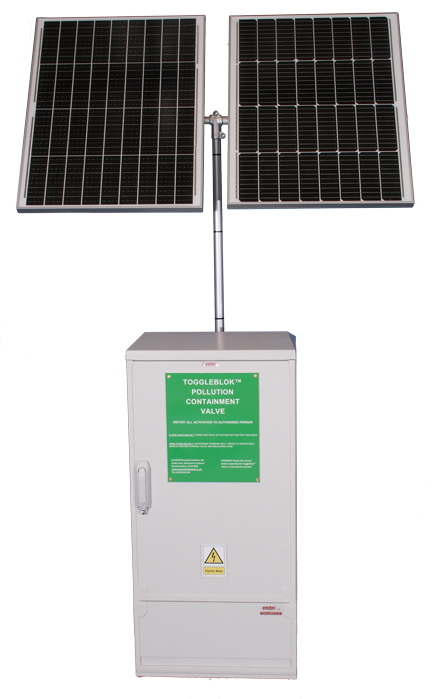
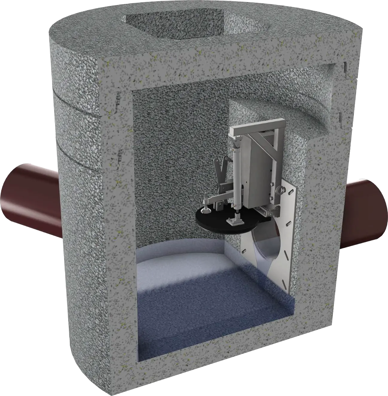
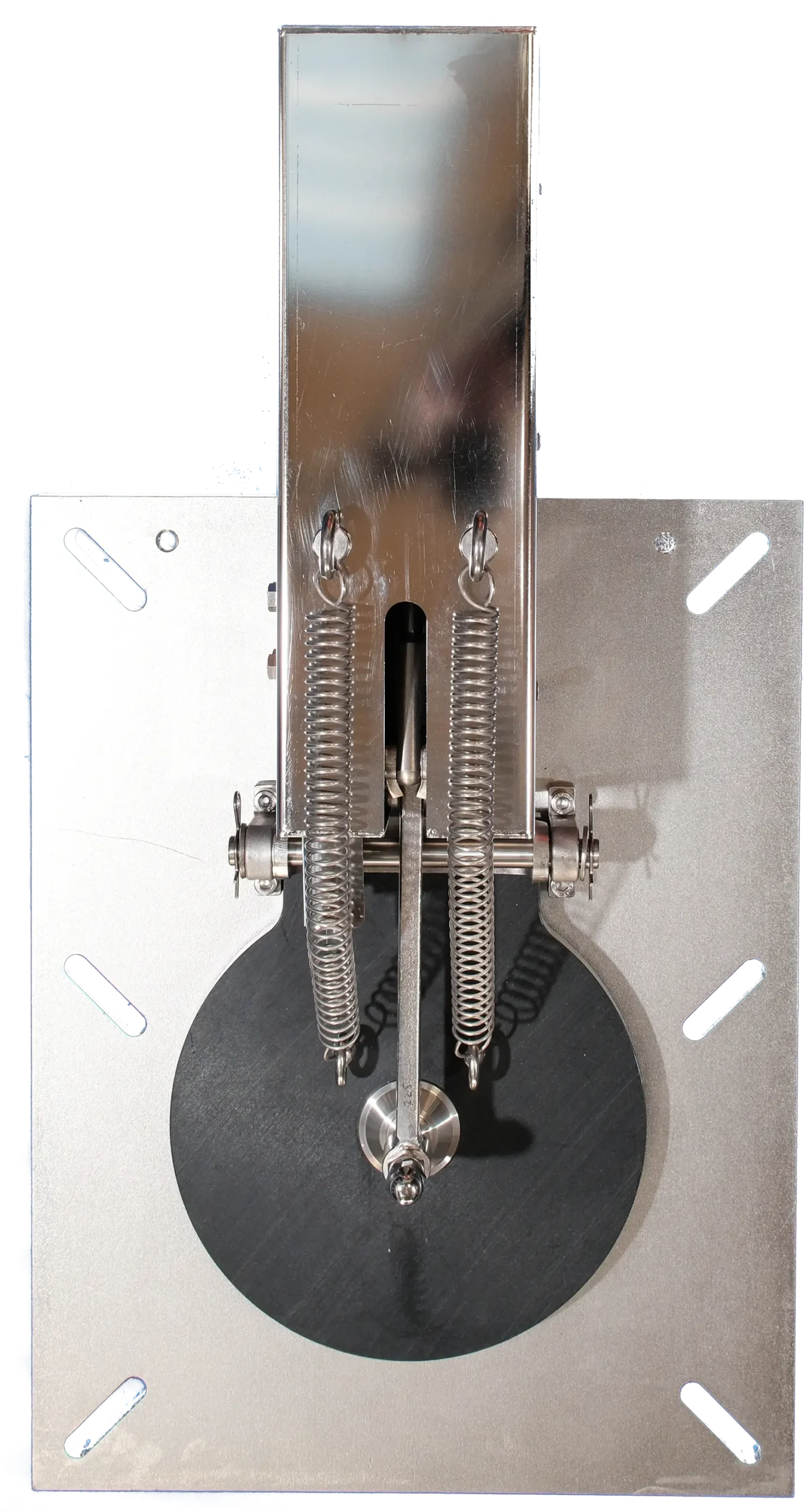
There is now an alternative to using Penstock Valves for water pollution containment – the ToggleBlokTM Pollution containment device which is manufactured and installed by David Coleʼs team at Penstock Solutions.   If you are sourcing a pollution containment...

Water Pollution Prevention News – Microplastics, Illegal Waste and 100,000 Dead Fish

Water Pollution Prevention – Microplastics, illegal waste, 100,000 dead fish   The mighty River Thames isn't just mighty. It's also filthy, thanks to extraordinary amounts of micro-plastic waste. A football pitch-sized illegal waste site in Cambridgeshire is being...

10 ways to save money on water pollution prevention.

As we all prepare to get back to work we are aware that the water pollution prevention systems that you implement have to be more cost effective and less disruptive than ever. This is the first of ten posts that will demonstrate the ten ways that Penstock Solutions...

Water Pollution Prevention News Water Pollution Special – Global Drinking Water Scandals

Water Pollution Special – Global Drinking Water Scandals Living in a first-world country with plenty of sensible regulations, rules, laws and guidelines in place plus an enforcement agency to make sure they're met, you'd think our drinking water was perfectly clean...

Pollution Containment Device – Control Panel Explainer

Pollution Containment Device - Control Panel Explainer Hello welcome to another one  our toggle block pollution containment device explainer videos, this time I am providing a little bit of an oversight into how the control panel for our valves work. This control...

Appeal for PFAS to be defined as a class, industrial spills, swimmers falling ill, poor water on beaches and free trees.

Scientists appeal for PFAS chemicals to be defined as a class According to the Green Science Policy Institute, all perfluorinated and polyfluorinated substances, also called PFAS, should be treated as a single class, as well as 'avoided for non-essential uses'. The...

Automated Pollution Containment Device – Flood Alarm Activation

Automated Pollution Containment Device - Flood Alarm Activation Hello and welcome to another Sandfield Penstock Solutions video looking at our ToggleBlok system, this time we are linking the pollution containment device to a flood alarm or high level alarm. We are...

Dry rivers, Cotswold river quality concerns, UK-wide Covid-19 sewage monitoring

Dry rivers, Cotswold river quality, UK-wide Covid-19 sewage monitoring Yorkshire's rivers, reservoirs, ponds and lakes are looking worryingly empty thanks to the driest May in recorded history. Rivers in the Cotswolds get a political publicity boost that highlights...

Containment Systems for the Prevention of Pollution – Supplement to CIRIA Report C736 (2014)

CIRIA have started work on a supplement to CIRIA c736 which was launched in 2014. They are looking for feedback from industry. If you are involved in water pollution prevention, spill containment, site or drainage design and you have feedback this is your opportunity...

Back to Work, Fly Tipping, and a Spate of Huge Industrial Fires

Going back to work – Will the world be different? In early April we wrote about the things Covid-19 should be teaching us about the way we have been living. Two months down the line the most of what we were saying is mostly still relevant our optimism that the crisis...